
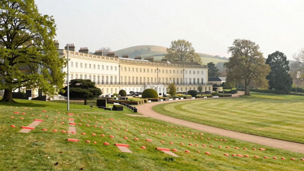
Topographical Surveys
Get in TouchAt Cheltenham Surveys, we specialise in accurate topographical surveys . This service involves detailed mapping of the land's surface features, including elevations, contours, and natural/man-made structures.
Our surveys are crucial for various applications such as construction planning, land development, and environmental assessments. We use state-of-the-art equipment for precise measurements, ensuring reliable data for your project requirements.
Contact us today to arrange a survey.
Book Topographical Surveys Today
How Much Do Topographical Surveys Cost?
Topographical surveys typically cost between £500 and £1,500, depending on the size and complexity of the site. For example, a small residential plot might cost around £500, while larger commercial areas can be upwards of £1,000.
Factors influencing the cost include site accessibility, vegetation density, and required survey accuracy. We use cutting-edge survey tools such as total stations and GPS units to ensure precise data collection.
Our surveys adhere to RICS standards, ensuring comprehensive and reliable results. Additional elements like contour mapping and underground utility detection can also affect pricing.
We’re here to provide a detailed estimate tailored to your project, so get in touch with Cheltenham Surveys for a precise quote.
What Do Topographical Surveys Include?
Our topographical surveys encompass a wide array of data, including terrain elevations, existing structures, boundary details, and surface features. We employ advanced surveying techniques such as LiDAR (Light Detection and Ranging) and total station measurements to ensure precise data collection.
Additionally, our surveys include utility locations and vegetation, crucial for comprehensive site analysis. We chart elements like tree canopies and water bodies, providing valuable insights for environmental and architectural planning.
Our surveys comply with industry standards such as RICS (Royal Institution of Chartered Surveyors) guidelines, ensuring quality and consistency. Depending on your project needs, additional services such as underground utility surveys and detailed 3D modelling can be added.
These 3D models, created using CAD software, offer detailed visual representations that aid in effective project planning. Accurate representation of the land is essential for effective planning and design.
Contact us to discuss your specific project requirements.
Why Choose Cheltenham Surveys for Topographical Surveys?
Choosing Cheltenham Surveys for your topographical survey needs ensures expertise and precision in every project. Our team uses advanced technologies such as GPS, total stations, and 3D laser scanning to gather detailed data on site elevations and contours.
We deliver accurate and comprehensive results that meet industry standards like the Royal Institution of Chartered Surveyors (RICS) guidelines, facilitating smooth project approvals. Our experienced surveyors not only prioritise client satisfaction but also provide advice on zoning, drainage, and infrastructure compatibility.
This enables us to assist developers, architects, and engineers in making informed decisions. With a focus on precision, we offer detailed site plans and digital models, enhancing the planning and development process.
Our commitment extends to providing ongoing support, ensuring your project remains on schedule and within compliance. Contact us today to discuss your project requirements.
Speak to a Topographical Surveys Expert
Frequently Asked Questions
How long does a topographical survey take?
Typically, a topographical survey takes one to two days, depending on site size and complexity. Larger or more intricate sites may require additional time.
How can I prepare my site for a topographical survey?
Ensure the site is accessible and clear of significant objects or debris that could obstruct the survey process. Notify us of any specific features you need documented.
What equipment do you use for topographical surveys?
We use professional-grade GPS units, total stations, and laser scanning technology to capture precise, reliable data for all survey requirements.
Can topographical surveys include 3D modelling?
Yes, upon request, we can provide detailed 3D models from our topographical data. This service supports enhanced visualisation and planning for complex projects.
What formats do you provide the survey data in?
Survey data can be delivered in multiple formats, including digital CAD files and printed reports, to suit project requirements.
Get a Free Quote for Topographical Surveys
For topographical surveys , contact Cheltenham Surveys today. We are ready to deliver precise land mapping services tailored to your needs.