
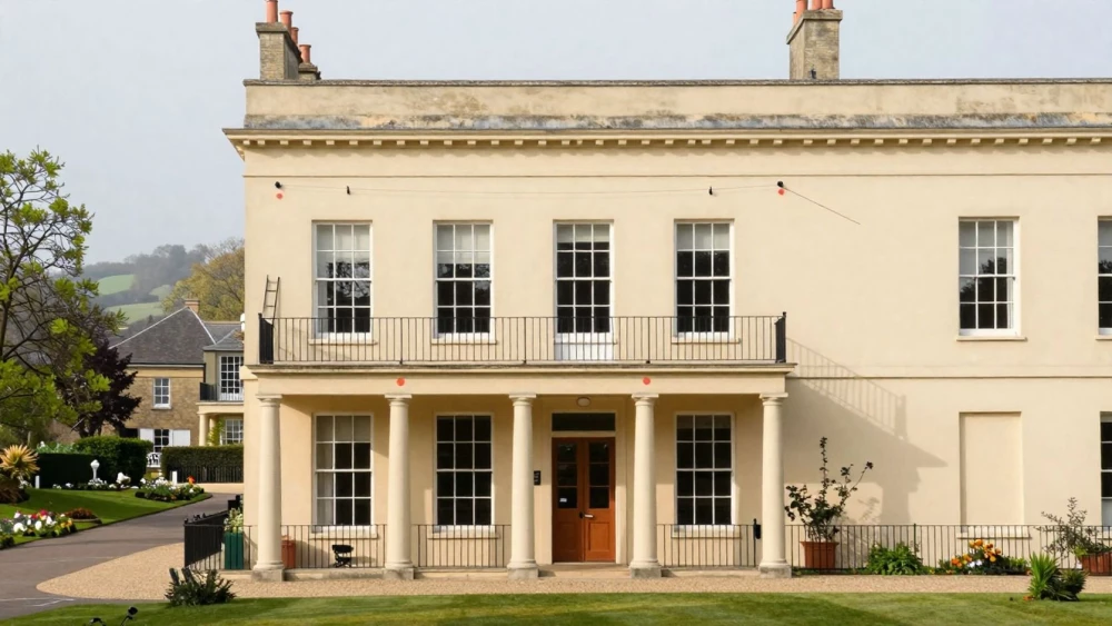
Elevation Surveys
Get in TouchAt Cheltenham Surveys, we specialise in providing comprehensive elevation surveys , delivering detailed topographical data for construction, planning, and design projects. Our expert team uses cutting-edge equipment to capture precise measurements, ensuring reliable and accurate results.
We work with various clients, including architects, builders, and developers, across diverse terrains and properties. Get in touch today to schedule your elevation survey with us.
How Much Does an Elevation Survey Cost?
Elevation surveys typically cost between £500 and £1,500, depending on the size and complexity of the site. At Cheltenham Surveys, we ensure competitive pricing suitable for various project scales.
Factors influencing the cost include site accessibility, terrain complexity, and the level of detail required. We use GPS equipment and laser scanning techniques to measure elevations accurately, maintaining precision to within a few millimetres.
Projects may range from simple land plots to large commercial developments, each requiring different levels of data granularity and time. Additionally, we adhere to RICS standards, which govern survey quality and ensure consistency across projects.
Contact us for a tailored quote to meet your specific project needs.
What Are the Benefits of Elevation Surveys?
Elevation surveys offer essential data that aids in safe and effective planning. At Cheltenham Surveys, our surveys provide several benefits:
Accurate Topographical Mapping: Using GPS technology and Total Stations, we detail site elevations and features, aiding in precise design and construction planning. This is particularly beneficial for complex sites with varied terrain.
Risk Mitigation: By identifying potential site issues like flooding, soil erosion, or slope instability, our surveys help prevent costly remedial work. We assess the elevation data against local floodplain maps and geological surveys to offer comprehensive risk analysis.
Informed Decision-Making: Reliable data supports architects and planners to create efficient designs, enhancing the utilisation of light and space. Our 3D modelling tools translate survey data into actionable insights.
Compliance and Regulations: We ensure projects meet UK legal and environmental requirements, adhering to standards such as the RICS professional guidelines and local planning regulations. This avoids penalties and project delays.
Contact us to experience these benefits for your project.
How Do Elevation Surveys Work?
Our elevation surveys involve a precise process using advanced surveying tools:
Site Assessment: Our team evaluates the site to determine the best surveying approach. They consider factors like terrain, vegetation, and accessibility, ensuring optimal data accuracy.
Data Collection: We use total stations and GPS technology to capture elevation data. This combination allows us to pinpoint geographical features with centimetre-level precision, crucial for engineering and construction projects.
Data Processing: The collected data is processed using CAD software to create detailed topographical maps. The maps can include contour lines, elevation points, and cross-sections that help stakeholders understand the site's 3D characteristics.
Report Delivery: We provide a report, including digital maps and relevant findings. These documents comply with RICS standards, facilitating informed decision-making for architects, engineers, and developers.
Our team at Cheltenham Surveys ensures accurate survey data for your project. Contact us to discuss your elevation survey needs.
How Long Does an Elevation Survey Take?
Typically, an elevation survey takes one to two days to complete on site. During this phase, our team uses equipment such as total stations and GPS units to accurately measure various site elevations.
The duration can vary based on the site's size and complexity, such as the presence of dense vegetation or existing structures obstructing direct lines of sight.
Following data collection, the processing of results usually takes an additional few days. This process includes converting raw data into usable formats, creating detailed topographic maps, and potentially integrating geographic information systems (GIS) to visualize elevation changes.
We ensure timely delivery of reports for your project's requirements, aligning with industry standards like the RICS specification for land surveys. Our aim is to facilitate informed decision-making for your construction or development projects.
Why Choose Cheltenham Surveys for Elevation Surveys?
Cheltenham Surveys is a trusted provider of elevation surveys. Our experienced surveyors use the latest technology, such as GPS and laser scanning, to deliver accurate and reliable results for various property types, including commercial, residential, and industrial sites.
We adhere to industry standards like the RICS guidelines, ensuring quality and precision in every survey. Our team is proficient in creating detailed contour maps and cross-sectional profiles that aid architects and engineers in project planning and development.
We focus on client satisfaction with a tailored approach that meets specific project needs, from ground level assessments to complex 3D modelling. Our process includes initial consultations, on-site evaluations, and post-survey reviews to ensure comprehensive service.
From competitive pricing to prompt service delivery, we are committed to excellence in every survey project. Reach out to us to learn more about how we can assist with your next project.
Speak to a Elevation Surveys Expert
Frequently Asked Questions
What is included in the price of an elevation survey?
Our elevation survey price includes site assessment, data collection, processing, and a detailed final report. Additional services may incur extra costs.
How do I maintain the survey data for future reference?
Store digital copies securely and refer to them when planning future site developments or modifications. We recommend archiving the data with your project documentation.
Are there special requirements to conduct an elevation survey?
Ensure site accessibility and safety for survey equipment and personnel. Our team will advise on any specific preparations needed for your project location.
Which areas do you cover for elevation surveys?
We conduct elevation surveys and are equipped to manage projects across various site conditions and requirements.
Can I request a re-survey if the initial site conditions change?
Yes, we can perform re-surveys to accommodate changes in site conditions or project plans. Contact us to discuss the specifics of your requirements.
Get a Free Quote for Elevation Surveys
For precise and reliable elevation surveys, contact Cheltenham Surveys. Our professional team is ready to assist you with your next project.